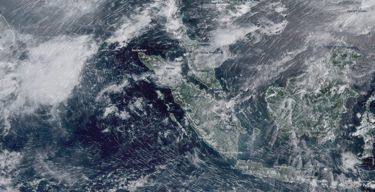
The Climate Visualiser dashboard allows users to browse our collection of maps from the 8-km and 2-km domains and time series for various locations for different Atmospheric variables and of Sea Level. Simply choose from the options available, click submit and visualise.
Time series of relative sea level at tide gauge stations around Singapore that have at least 30 years of continuous data (black line) are shown here. The estimated sea-level from satellite altimeter measurements at each location (blue line) are also shown for comparison.
Download chart as:
